
GeoMats
Advanced Solutions for Erosion Control and Soil Reinforcement
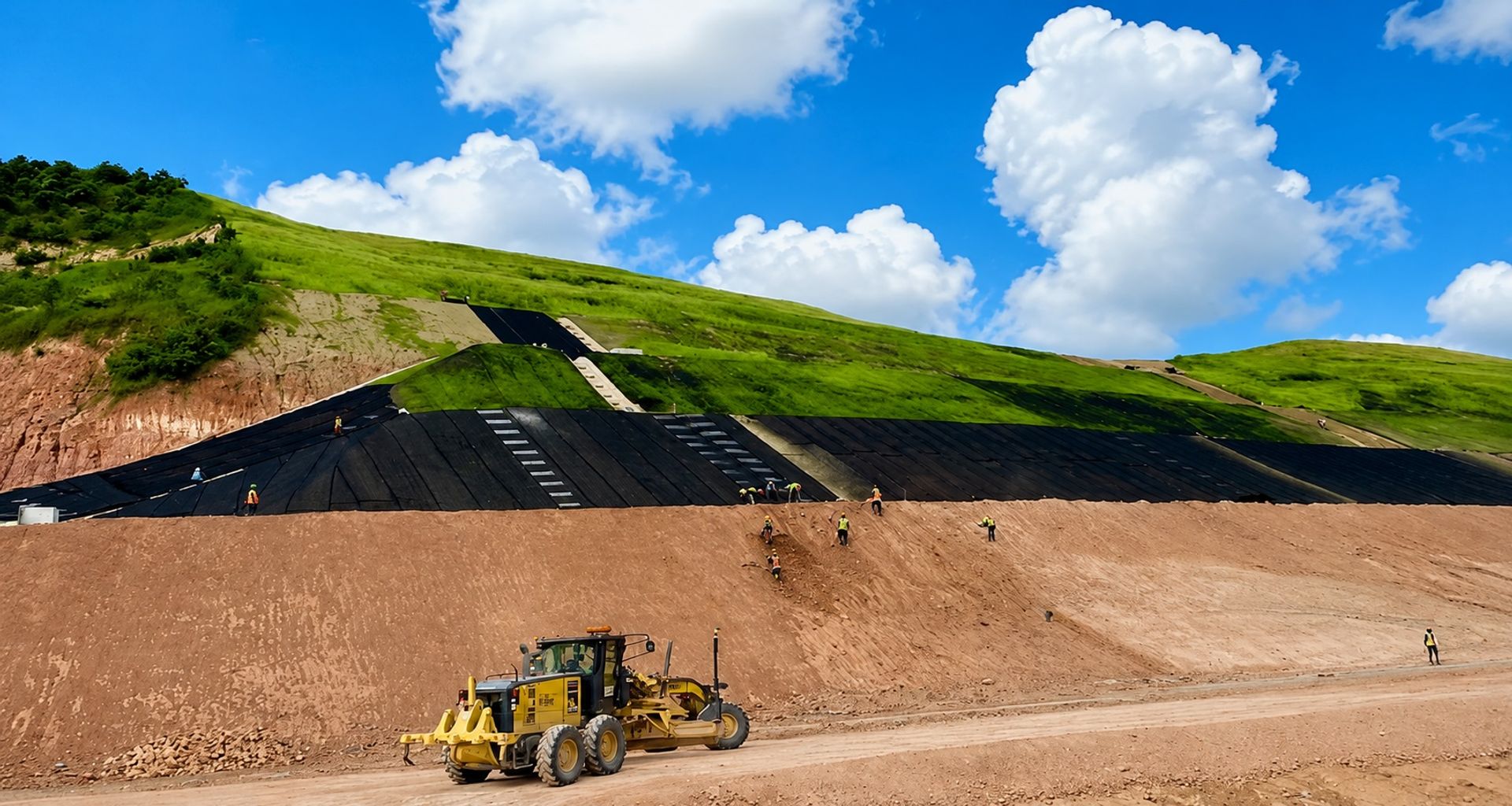
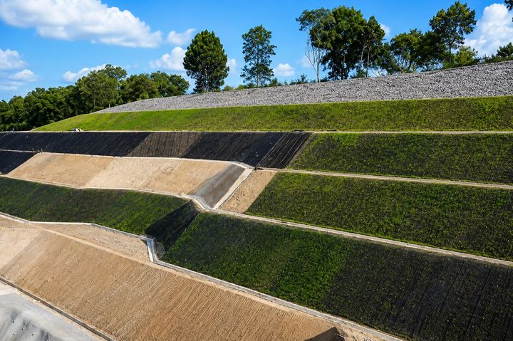
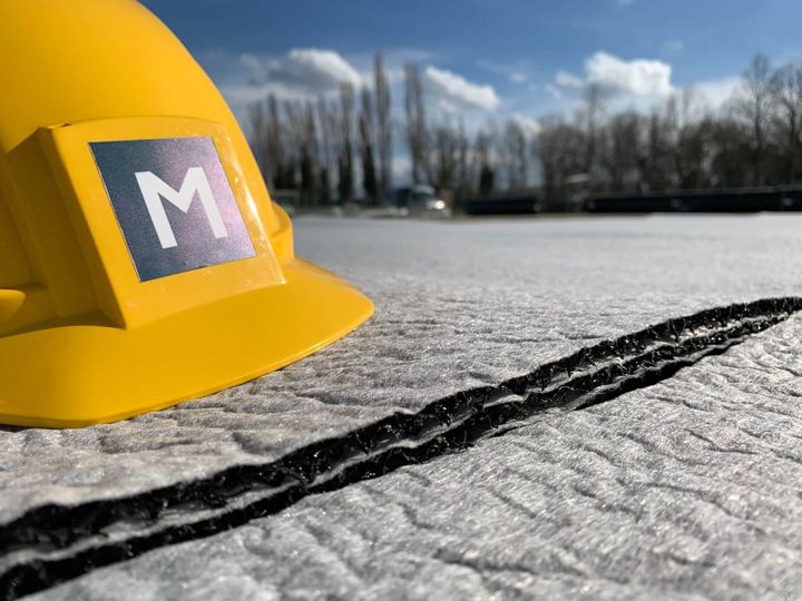
MacMat Geomats are engineered using high-quality synthetic filaments intricately heat-tangled to form a three-dimensional, flexible, and highly porous layer, with porosity rates exceeding 90%. These geomats offer a durable and eco-friendly solution for erosion control, effectively adapting to diverse climatic conditions and environments, whether dry or wet. Their ability to integrate with natural vegetation promotes healthy root growth, while simultaneously protecting the soil surface from erosive agents like water runoff and rain impact.
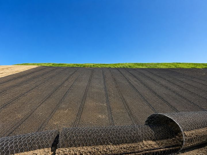
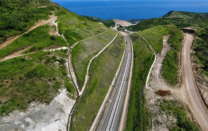
For projects that require additional structural support, MacMat R combines the geomat structure with a reinforcement layer, available in double-twisted steel mesh or synthetic geogrid. This configuration provides high tensile strength and stiffness, making it ideal for complex applications such as slope stabilization, soil nailing, and protection against landslides and rockfall. The versatility of MacMat R makes it suitable for challenging scenarios, including steep slopes, coastal defenses, and high-traffic embankments.
Both MacMat and MacMat R are excellent choices for civil engineering, infrastructure, and environmental protection projects. Engineers can leverage Maccaferri’s design software ECoMac and the eDesign platform to develop customized solutions for erosion control and soil reinforcement, ensuring optimal project outcomes. Access the eDesign platform for a efficient design process tailored to your project’s specific needs.
KNOW MORE ABOUT MACMAT AND EROSION CONTROL
Success Stories
Built, not just drawn
Discover more
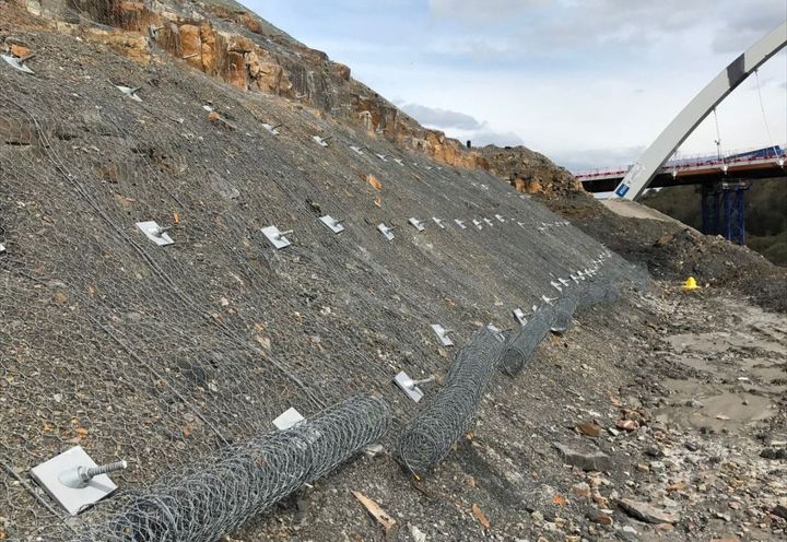
A465 Road Improvement Slope Stabilisation Solutions for South Wales Infrastructure
United Kingdom
The A465 Heads of the Valleys road is a critical infrastructure route in South Wales, forming a key transport corridor between West Wales, the Welsh Valleys, and the English Midlands. Connecting the M4 at Neath to major hubs such as Abergavenny and Hereford, the A465 plays a vital role in supporting regional economic growth, logistics, and tourism. However, the original road, constructed in the 1960s, was no longer fit for purpose. Designed as a single three-lane carriageway, with two lanes in the uphill direction and one downhil, it created significant traffic inefficiencies. Limited road width restricted traffic flow and reduced safe overtaking opportunities, leading to congestion and increased journey times. A regional traffic study identified these challenges as early as 1990, highlighting serious safety concerns. Poor visibility in several sections of the route, particularly around bends and junctions, contributed to a high concentration of road traffic accidents. These issues were further compounded by the road’s ageing design, which could not accommodate modern traffic volumes. Recognising the strategic importance of the A465 for economic development, the Welsh Government launched a long-term road improvement programme. The upgrade was essential to enhance transport connectivity, improve road safety, and support regeneration across the Heads of the Valleys region. Improved infrastructure would also boost access to employment, services, and key investment zones, including the Ebbw Vale enterprise zone.
Discover more
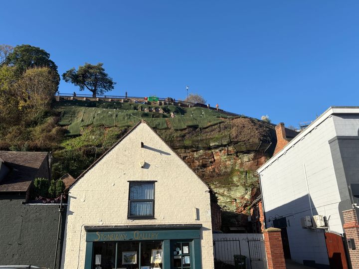
Castle Walk Slope Stabilisation Project, Bridgnorth, Shropshire
United Kingdom
Castle Walk is located on the eastern side of High Town in Bridgnorth, Shropshire, at the crest of a near-vertical Bridgnorth Sandstone cliff overlooking the River Severn and Low Town. The route is an important pedestrian connection within the town, linking to Underhill Street via both St. Mary’s Steps and the historic Bridgnorth Funicular Cliff Railway. The slope has a long history of instability and landslip activity, with ongoing movement affecting the retaining wall that supports the Castle Walk footpath. Over many years, weathering, erosion and ground movement within the soil overburden increased the risk of slope failure and created concerns for public safety and the long-term stability of the surrounding infrastructure. In late 2022, multiple failures were identified within sections of the retaining wall. Emergency repair works were carried out along approximately 65 metres of the structure to address the immediate defects. However, while the repairs stabilised the most critical areas, they did not resolve the underlying geotechnical issues responsible for the wider slope instability. As movement continued across the slope, it became clear that a permanent slope stabilisation solution was required to prevent further landslips, protect Castle Walk and secure the cliff face overlooking the River Severn.
Discover more
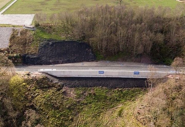
Eden Brows Landslip Repair Settle-Carlisle Railway Stabilisation Solution in Cumbria
United Kingdom
Severe flooding in Cumbria during the winter of 2015–2016, particularly following Storm Desmond, triggered a major landslip at Eden Brows near Armathwaite. Around 500,000 tonnes of earth collapsed, forcing the closure of the historic Settle–Carlisle railway line in February 2016. This critical section of railway infrastructure is located approximately 200 metres from the River Eden and sits 70 metres above it, making it highly susceptible to slope instability and geotechnical failure. The extreme weather conditions reactivated a historic landslide, causing significant ground movement at a depth of approx 15 metres from the riverbank up to the railway embankment. This resulted in substantial deformation of the rail embankment and track alignment, with the ground shifting dramatically beneath the Up line. The landslip posed a serious risk to rail safety and threatened the long-term future of one of the UK’s most iconic railway routes. The Settle–Carlisle line, opened in 1876, is not only a major tourist attraction known for its scenic landscapes but also a vital freight corridor and transport link for local communities across Northern England. The closure of the line had significant economic, social, and logistical impacts, making rapid and effective remediation essential.
Discover more
Deep dive into
GeoMats
What we can do with
GeoMats



Get in touch with us
[contactForm_txtSuccessSubmit]